


【西粟倉小学校】3年生社会科 地域を地図で見てみよう! 村たんけん〈実施報告〉
2026.07.11
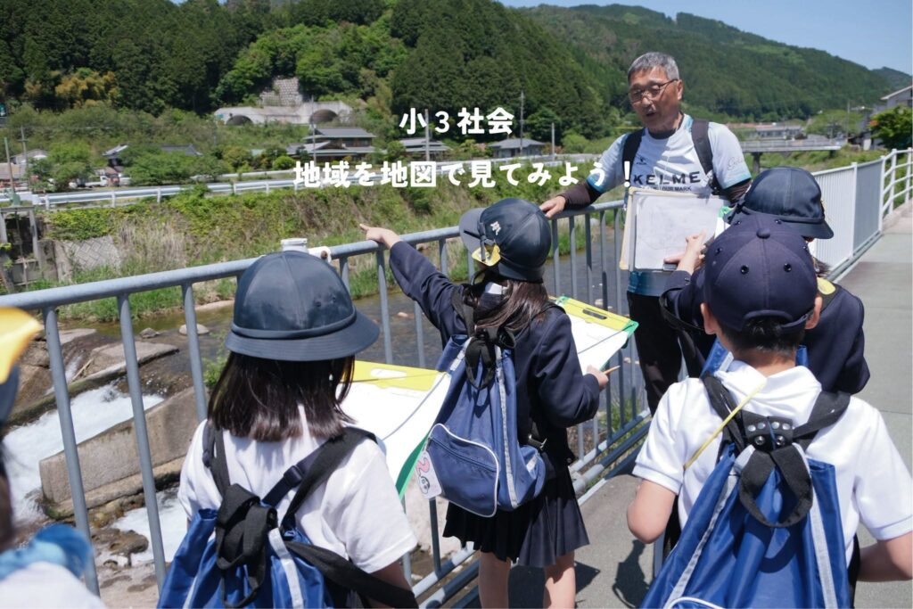
小学校3年生の社会科では地図について学習を進めています。今回は白地図を使って地域をめぐりながら何処に何があるのか確かめていきました。
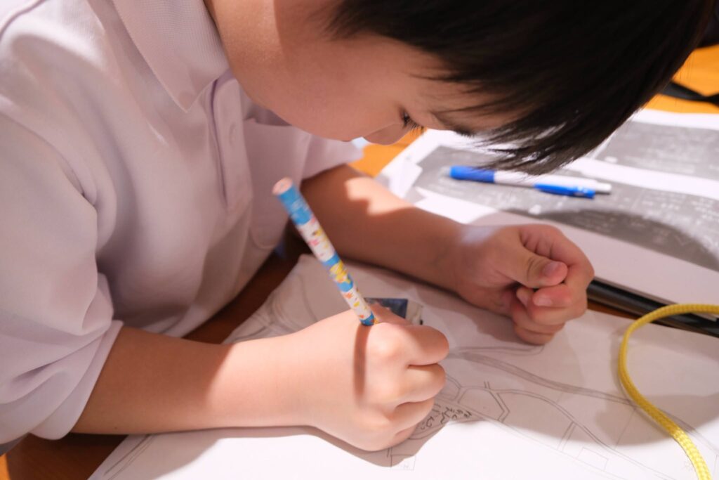
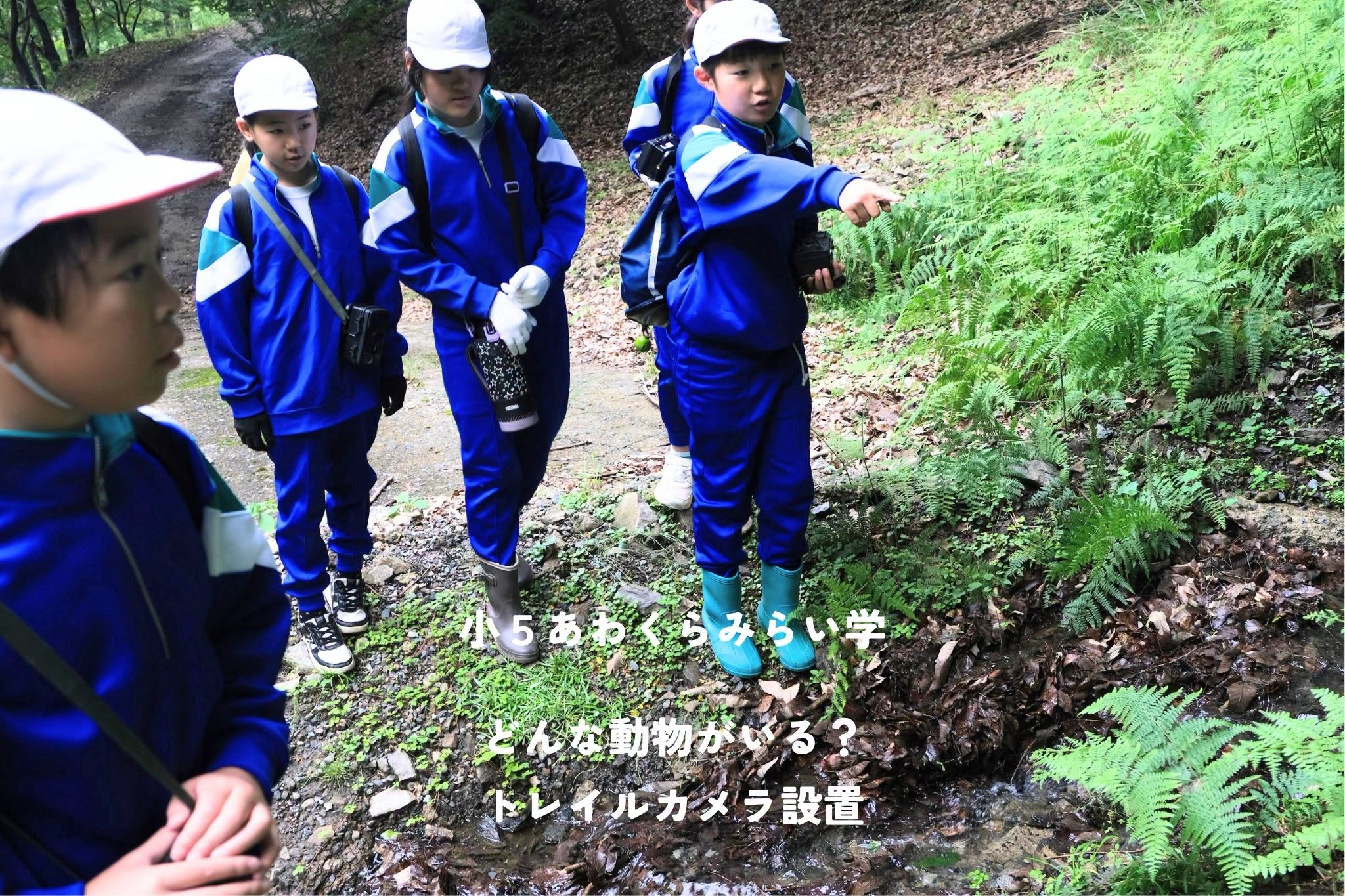
たんけん1日目は小学校を出て北に進んでいきました。「交番があるのはええっと・・」とコンパスを使って方角を確かめたり、実際にある建物や道を見比べながら白地図に「田んぼ」や「建物」を記入していきます。地図でいうと今どのあたりを歩いているのかを判断するのが難しく、立ち止まっては地図といる場所を見比べながら少しづつ確認していました。途中休憩で立ち寄ったあわくら会館では、お互いの地図を見合って「あれ、ここが駐在所じゃなかった?」と自分で書いた地図とほかの子が書いた地図に違う箇所を見つける場面も。「でも、ここの道があるからやっぱりここじゃないんじゃない?」と地図を観ながら道や他の建物から1つずつ確認することができていました。
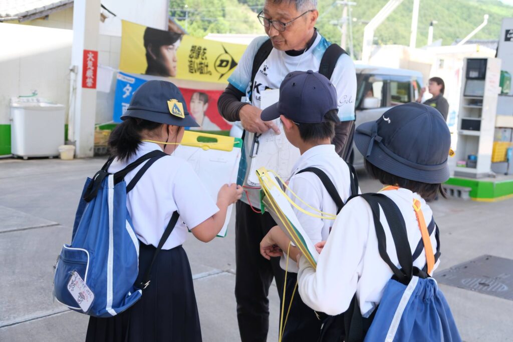
2日目は、南側へと進んでいきます。畑や田んぼも地図に記入しながら歩きます。途中、「あそこにおばあちゃんの家があるんだ!」と男の子。すると「ということは地図で言うと・・・ここらへんかな?」と、おばあちゃんの家の場所を自分で確かめたり、「駅はここか」と先生に言われなくてもパッと記入することができている子も。少しずつ地図を読む・描くことへのハードルが下がっているようでした。
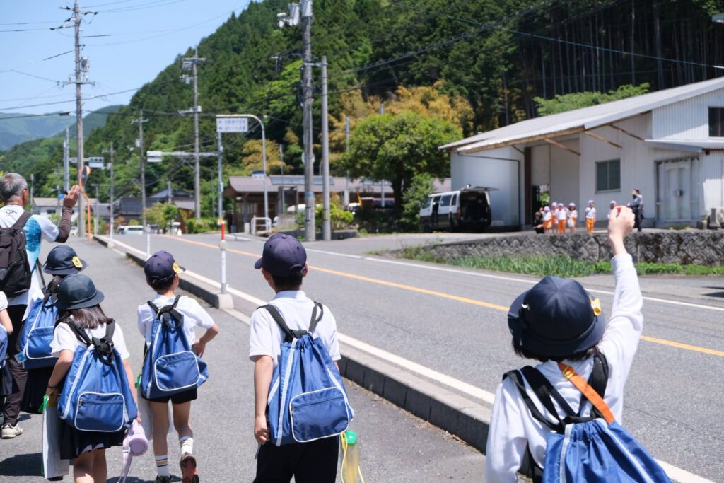
教科書上の学びだけでなく、実際に地域を歩くことで、日ごろの学びが日常につながる経験が積み重なればと思います。
[3rd Grade Social Studies: Exploring Our Village to See the Community Through Maps!]
In their 3rd-grade social studies class, the students have been learning all about maps. For this project, they headed out to explore the neighborhood with blank maps in hand to see exactly what could be found where.
On the first day of exploration, the students left the school and headed north. Checking their directions with compasses—asking things like, “Let’s see, where is the police box again?”—they filled in their blank maps with labels like “rice fields” and “buildings” by comparing the map with the actual structures and roads before them. Pinpointing their exact location on the map proved to be a bit tricky, so they frequently paused to compare the map with their surroundings, confirming their position step by step. When they stopped by the Awakura Kaikan community center for a quick break, they began comparing each other’s work. One student noticed a discrepancy, asking, “Wait, isn’t this where the police substation is supposed to be?” Through teamwork, they looked closely at the roads and surrounding buildings to verify the location one by one, saying, “But look, since this road runs right here, it actually has to be over this way instead.”
On the second day, the students directed their exploration toward the south. They continued their hike while marking vegetable gardens and rice fields on their maps. Along the way, one boy excitedly pointed out, “My grandma’s house is right over there!” Hearing this, another student chimed in, “That means on the map… it must be right around here, right?” They successfully identified the grandmother’s house on their own, and when they reached the train station, some children were able to instantly plot it down without needing any prompts from the teacher. Bit by bit, the hurdles of reading and drawing maps seemed to be fading away.
Beyond the concepts learned from textbooks, we hope that by physically walking through the community, the students will continue to stack up rich experiences that bridge their daily lessons with the real world.